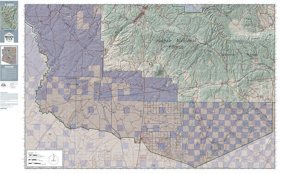
Folded Map
Size: 28" x 42"
Scale: 1:35,000
Double Sided
25' contours
Section lines with numbers
Lat/Lon ticks
1000 meter UTM grid
Map includes fence lines, grazing allotments, as well as private, state, BLM, and wilderness boundaries
100 meter ticks for greater accuracy in locating geographic features such as water sources, glassing locations or remote areas
Compatible with your GPS device
Includes 2024 MVUM from the local Forest Service
Arizona Hunt Unit 17A Map
$49.99Price